
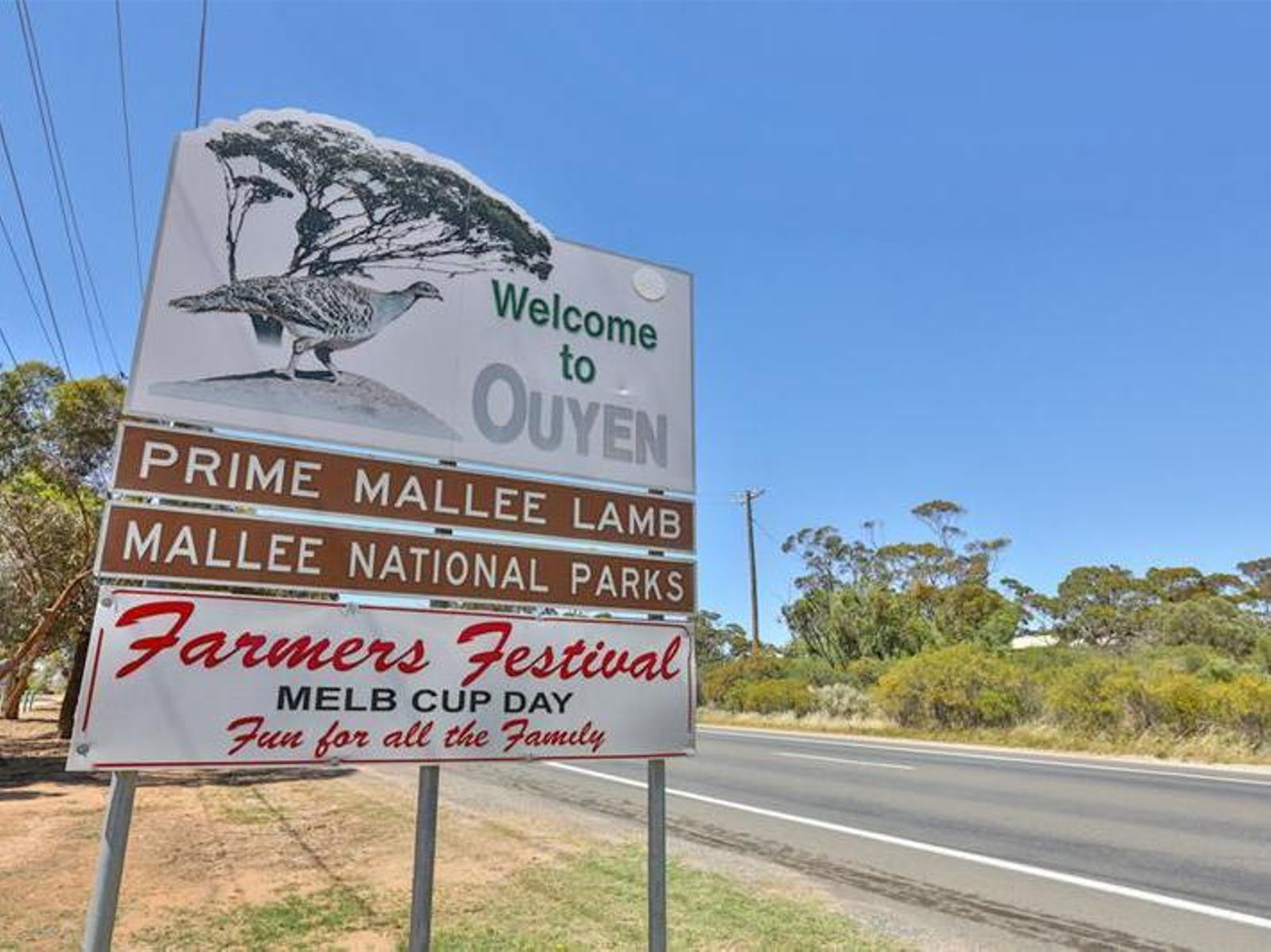
Ouyen (pronounced "ohh yen") is a small country town located in rural Victoria (population ~1,000).
It is situated 441km North-West of Melbourne, at the cross roads of the Calder Highway (Melbourne-Mildura) and the Mallee Highway (Sydney-Adelaide). The closest regional centre are Mildura, 110km to the North, and Swan Hill, 150km to the East.
The township of Ouyen was established in 1906. The construction of a railway station saw Ouyen grow, particularly attracting farms tending sheep, wheat, barley and oats.
Today, Ouyen’s main industries include:
-
Dry land agriculture (farming of wheat, barley) and sheep grazing
-
Health (due to the local Mallee Track Health and Community Service Hospital which services
the broader region)
-
Education (due to the local P-12 College that services the broader region)
Ouyen is also famous for its “Prime Mallee Lamb”, renowned for its tenderness and favour. Local Ouyen farmers come to the Ouyen Livestock Exchange to sell >250,000 head of sheep and lambs every year for distribution nationwide, and export internationally.
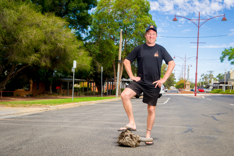
The Mallee Root is a symbol of our town as it represents the hardiness, tenacity, and spirit of our people. The populous Mallee root (eucalypt lignotuber) is known as a hardy plant that is difficult and stubborn to uproot, even when exposed to prolonged drought conditions. Like the Mallee Root, our community withstands and prospers even in the face of adversity. There is even a tribute to the Mallee Root at Ouyen Blackburn Park, where Australia’s largest Mallee stump sits on display.
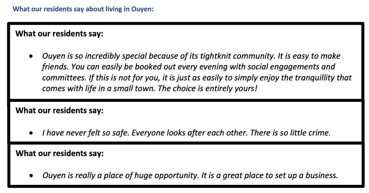
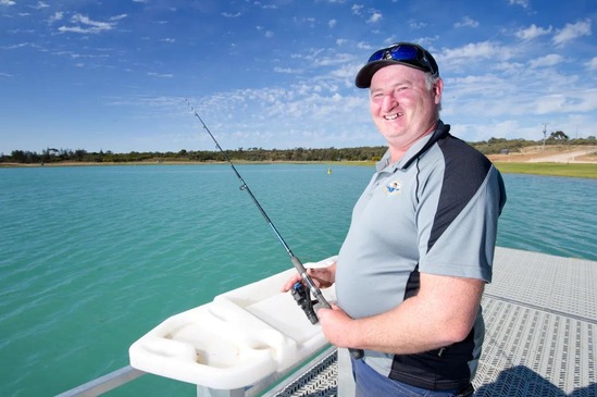
Ouyen’s community culture is renowned for being warm, friendly and proactive at creating a better town. Some examples of the Ouyen’s enviable community spirit include the ability to co-ordinate the construction of the Ouyen Lake and the Ouyen Community Gym. Both are real Mallee success stories; projects instigated and driven by the community to improve our town’s liveability, and vibrancy!


This website is managed By Ouyen Inc.